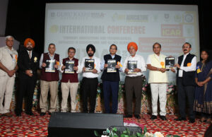
8th International Conference, Bathinda (CITAAS-2024)
Just Agriculture Edu. Group in collaboration with Guru Kashi University, Talwandi Sabo, Dept of Agriculture & Horticulture (Punjab Govt), ISASTR, Noida successfully organized 𝐈𝐧𝐝𝐢𝐚’𝐬 𝐋𝐚𝐫𝐠𝐞𝐬𝐭
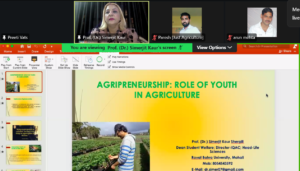
15 Day’s International Training cum Workshop Program- AGRICULTURE 1.0
15 Day’s International Training cum Workshop Program- AGRICULTURE 1.0 “Advances in Agripreneurship & skill development for reshaping future of Indian Agriculture” from 01 Aug-15 Aug,

15 Day’s International Training cum Workshop Program- AGRICULTURE 2.0
15 Day’s International Training cum Workshop Program- AGRICULTURE 2.0 “A Next level approach towards sustainability, smart farming & Agri-Innovation” from 16-30 Dec, 2021 which was
8th International Conference, Bathinda (CITAAS-2024)
Just Agriculture Edu. Group in collaboration with Guru Kashi University, Talwandi Sabo, Dept of Agriculture & Horticulture (Punjab Govt), ISASTR, Noida successfully organized 𝐈𝐧𝐝𝐢𝐚’𝐬 𝐋𝐚𝐫𝐠𝐞𝐬𝐭
15 Day’s International Training cum Workshop Program- AGRICULTURE 1.0
15 Day’s International Training cum Workshop Program- AGRICULTURE 1.0 “Advances in Agripreneurship & skill development for reshaping future of Indian Agriculture” from 01 Aug-15 Aug,
15 Day’s International Training cum Workshop Program- AGRICULTURE 2.0
15 Day’s International Training cum Workshop Program- AGRICULTURE 2.0 “A Next level approach towards sustainability, smart farming & Agri-Innovation” from 16-30 Dec, 2021 which was
3 Day’s National Workshop “Sustainable utilization of Agricultural Resources” from 11-13 March, 2022
3 Day’s National Workshop “Sustainable utilization of Agricultural Resources” from 11-13 March, 2022 organised by School of Agriculture, Quantum University, Roorkee & Just Agriculture Education
One Week International Faculty Development Program
One Week International Faculty Development Program on “Enhancing the ability of Quality Writing of Research Project & High Impact Publication” on 11-17 April, 2022 in
21 Day’s International Training cum Workshop Program- AGRICULTURE 3.0
21 Day’s International Training cum Workshop Program- AGRICULTURE 3.0 “A futuristic approach towards Smart Agriculture & Sustainable Urban Farming” from 30 April- 20 May, 2022
15 Day’s International Training cum Workshop Program- AGRICULTURE 4.0
15 Day’s International Training cum Workshop Program- AGRICULTURE 4.0 “The Future of Farming Technology & Agripreneurship Development” from 10-25 Nov, 2022 which was jointly organised
7 Day’s Online Training Program on Drone Manthan from 20-26 Nov, 2022
7 Day’s Online Training Program on Drone Manthan from 20-26 Nov, 2022 jointly organised by NAHEP-DFSRSDA-ICAR, VNMKV, Parbhani & Just Agriculture Education Group
One Week International Faculty Development Program
One Week International Faculty Development Program on “Improving the Writing Skills of Early Career Researchers” on 15-21 Dec, 2022 in collaboration with SKUAST, Kashmir &
One Week Faculty Development Program
One Week Faculty Development Program on “Effective Research Methodology & Publication” on 13 Feb-19 Feb, 2023 in collaboration with SGT University, Gurugram & Just Agriculture